
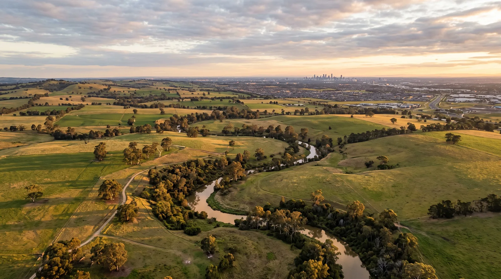
Toolern Vale 3337 · City of Melton
A new community taking shape in Warrensbrook.
A named future precinct north of Melton East along Kororoit Creek, around 38.64km from the Melbourne CBD. Long-term planning points to a mix of employment land, a smaller residential offering, local services and green corridors as the area comes forward.
Artist's impression - indicative only.
Future precinct
Current planning status
Horizon 3
2029/30 to 2033/34
City of Melton
Local government area
Mostly employment
With a smaller residential offering
The plan so far
An early look at Melton's next decade of growth.
North of Melton East along Kororoit Creek: a named Horizon 3 precinct expected to carry mostly employment uses with a smaller residential offering, an early look at Melton's next decade.
Warrensbrook has been named in Victoria's 10-year greenfields plan, which sets out the order in which new precincts are brought forward for structure planning. It sits in Horizon 3, so detailed plans, boundaries and dwelling capacity are not yet published. This site tracks what is known today from official sources and will be updated as the Victorian Planning Authority releases more.
At a glance
- Local government area
- City of Melton
- Host suburb
- Toolern Vale 3337
- Precinct structure plan
- Not yet published
- Planning horizon
- Horizon 3 (2029/30 to 2033/34)
- Expected land use
- Mostly employment, smaller residential
- Southern boundary
- Kororoit Creek
- Distance to Melbourne CBD
- ~38.64km
- Status
- Future precinct
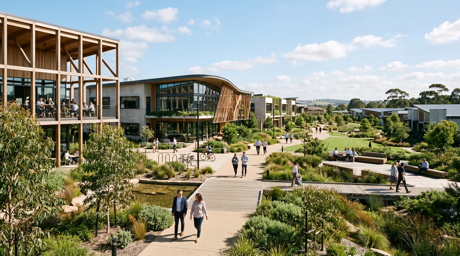
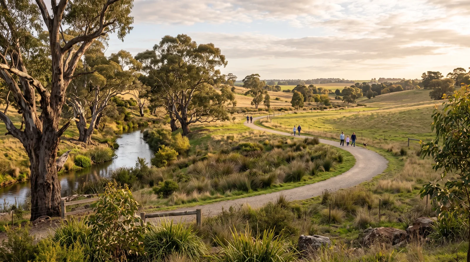
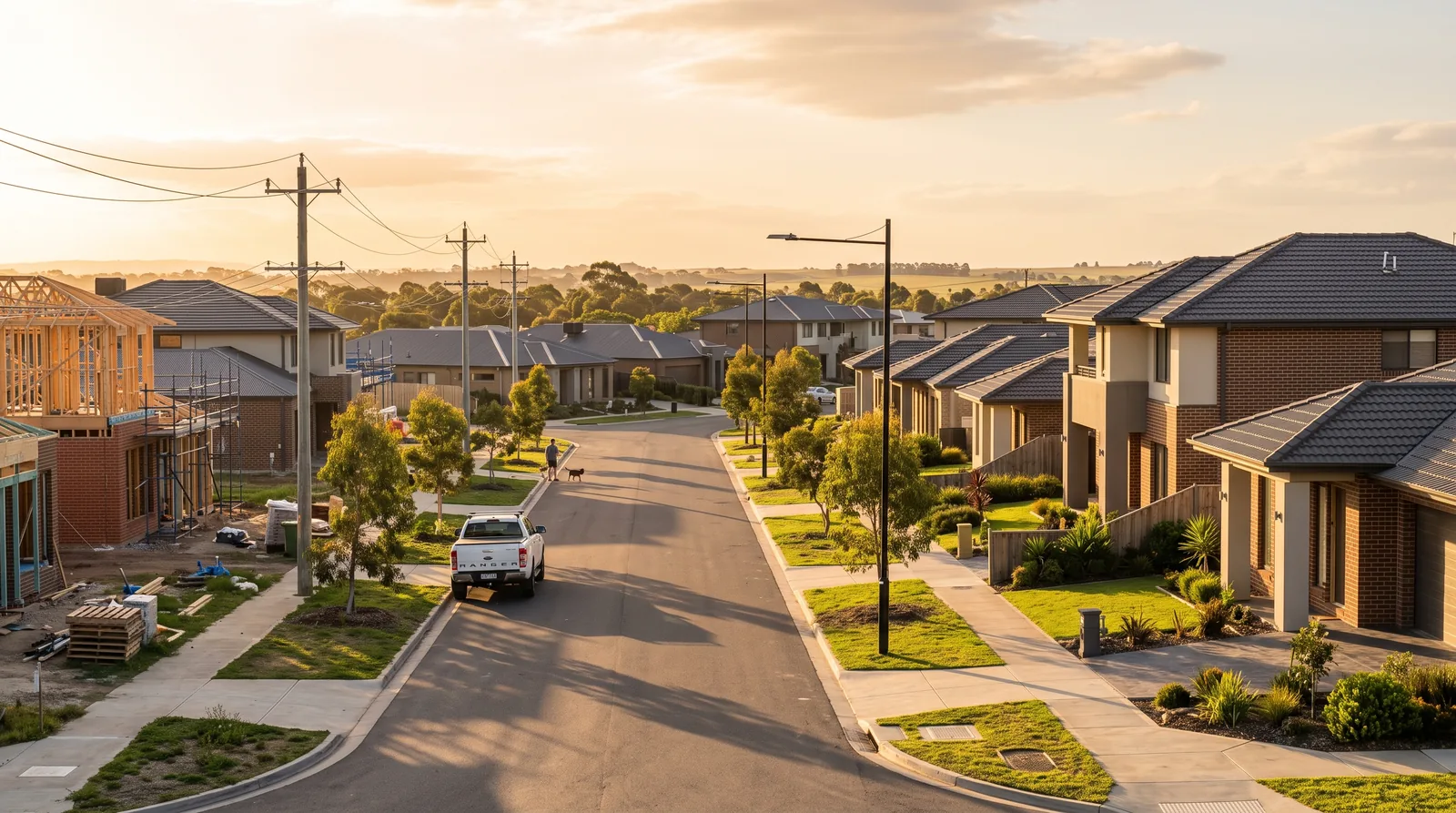
Explore the precinct
Everything buyers ask about Warrensbrook, in one place.
Location
Where the precinct sits, boundary context and distances to Melbourne.
Development
The land and housing types expected to come forward over time.
Future Plans
Horizon 3 sequencing, deliverables and the official planning source.
Transport
Rail, freeway, airport access and indicative commute times.
Lifestyle
Creek corridor, parks, retail and recreation around the precinct.
Schools
Future school sites and existing schools near the precinct.
Market
ABS Census demographics for the host suburb plus modelled indicators.
Why Here
What the precinct could mean for first home buyers, investors and families.